In preparation for Independence Day, it is time to remember fascinating historical sites along the road to Jerusalem, where important events took place that shaped the State of Israel. To get into the atmosphere, especially in a complex year like this, we have compiled for you the sites for a day trip that combines spectacular views, rich history and of course – stories of Israeli heroism. Along the route you will visit key sites, where fateful battles took place in the history of the Jewish people until the War of Independence.
Independence 2024: events and trips for the whole family
Nature won: springs and observations in the valley of the springs that commemorate the spaces of Israel's systems
"The heritage sites along the road to Jerusalem are a fascinating mosaic of Israeli heroism for generations. Each site tells a unique story about the courage and strength of warriors who sacrificed their lives to defend the land and the access road to the capital," says Naama Dror, Public and Community Coordinator in the Central District of the Nature and Parks Authority. "We invite the public to come, learn and be impressed by this wonderful history, especially in preparation for Independence Day, where we cherish the heritage and sacrifice of those thanks to whom we gained independence and our own country."
The Comb Nature Reserve
The comb is a small nature reserve located in the Jerusalem mountains, and it has everything you need for a short trip. An easy path, carpets of blossoms and spectacular views.
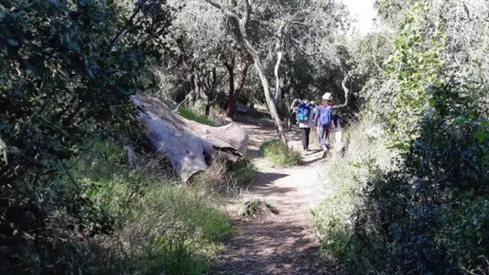
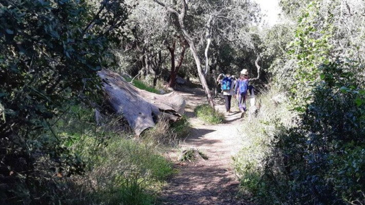
The length of the route in the nature reserve is about 800 meters. Its starting point is the parking path, from which you go up a flight of stairs towards the west. After a short walk the path splits – continue walking on the right path towards a natural grove of common oak trees and those of Eretz Israel. Beside the path there are several caves in the marl outcrops – a geological formation known as the "Beit Meir formation", after the nearby moshav. In addition, you can see along the path a number of communication trenches where the Arab defenders of the village of Beit Mahsir, who weakened on the road to Jerusalem at the beginning of the War of Independence, fortified themselves.
With the path we will leave the forest and reach an observation point towards the lowlands. At the foot of the path you can see the Beit Meir settlement – a settlement built after the War of Independence on the ruins of Beit Mahsir. The village was used during the war as a central base for the Arabs who attacked the caravans that came up through the Shaar HaGi on their way to Jerusalem. From this vantage point you can overlook the entire area of Modi'in, Lod and Ramla, and on days when visibility is good you can also see the Mediterranean Sea and Gush Dan.
The path continues and climbs towards the top of the mountain through a burned forest area, where stood impressive pines that went up in flames in the summer of 2001 and today serve as a silent reminder of the negligence of travelers. The road to the top of the mountain leads to a clearing in the northern part of which is the tomb of Sheikh Ahmed al-Ajmi. According to Muslim tradition, the Sheikh was one of the Prophet Muhammad's companions and served as his book. The building itself is in danger of collapsing, and entry to it is prohibited.
From there, the path continues east, passes by two bunkers from the War of Independence and descends towards the parking lot and from there connects to the path where we started the route.
How to get there: write "The Comb Nature Reserve" in Wise.
Yehuda Mountains National Park
The route in the Yehuda Mountains National Park starts at the KKL parking lot next to road No. 3955, about 3 km after the Shorsh interchange. Start walking along the road marked in red until you reach a green trail marker. Continue to follow the green path, crossing the head of a stream through Burma and going up towards Mount Orna. There a sign will lead you to "Tazfit Ramah" – a bench in the shade of the oak tree above the banks of the Nachshon stream.
At the top of Mount Orna stands signpost 16 – one of a series of signposts that controlled the Burma Road and Shaar HaGai during the War of Independence. At the beginning of the war, the Arab forces from the nearby village of Beit Mahsir (today, as mentioned, Moshav Beit Meir) seized control. Their control over the remotes allowed them to block Jewish civilian traffic to and from Jerusalem along the road. On the night of May 9-10, 1948, as part of Operation Maccabi, the Palmach fighters retook the control posts. After that, the fighters faced counterattacks from the Arab forces, which took a heavy toll in casualties.
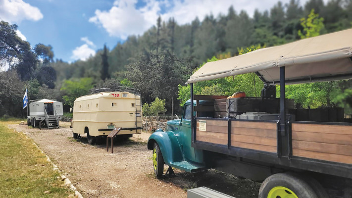
Today, at the top of the mountain, there is a modest commemorative site in memory of those who fell from the Palmach in this campaign, and especially to the soldiers of the platoon from Kibbutz Naan, who contributed a lot in this fateful campaign in the Komiam War.
From there, continue with a moderate descent along the path to another breathtaking viewpoint towards road number 1 and the traffic island on it – "Gai Sheirot". Next to the observation point, orchards were planted, including olive trees and pomegranate trees. Further down the path we can see planted pine trees and natural forest trees. Continue and go down to the area where the olive grove is located and reach a dirt road that descends to the left towards Burma Road and allows access by private vehicle to the area from signpost 21.
In the control area 21 carob trees and gum goddess bushes grow. The trail crosses Givat Mashlat 21 west of the summit. There you can also notice the remains of one of the defense positions in the remote control. Upon reaching the hill, leave the vehicle road and go down west on a steep and cobbled road, which is not suitable for normal vehicles. At the end of the steep descent, a short footpath marked in blue branches off to the left and is a connecting path to the Burma Road.
For those interested in a circular walking route, you can go down this path and go up the Burma road back to the starting point. And if you want to reach the end of the track, continue on the dirt road marked in green (9353).
How to get there: write "Derech Burma Beit Meir" in Wise.
Hextell: the hill that became a symbol
The national site is located at the top of the hill that rises above Route 1 to Jerusalem, and it commemorates the legacy that took shape during the battle for the besieged road to Jerusalem in the War of Independence.
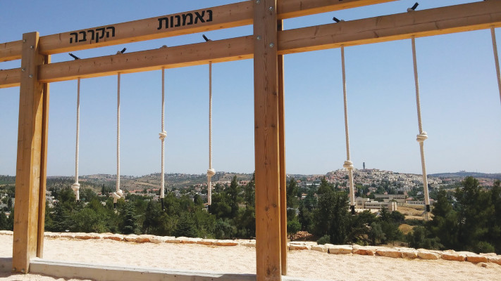
The visit to the place will illustrate to you the significance of the War of Independence that took place on the site. When you arrive at the garden, you can park near the entrance gate and from there you can walk up to the top of the mountain in a short 10-minute walk and on the way you can enter the defense trenches that surround the mountain and walk along it until the entrance to the fortress. At the entrance to the fortress you can admire the Crusader structure, enter the halls with the stone arches that survived all the wars on the mountain and go up for a beautiful view to the upper square, where there is a relief map with an explanation of the road to Jerusalem. The restored and preserved defense trenches will allow you to peek through the shelters into the wadi below and imagine how the defense fighters and the Palmach guarded the mountain after the occupation of the place.
No thorough archeological excavations were conducted at Mount Hextel, so we do not have certain information about the first settlers in the place. However, it is known that the crusaders, who used to prefer high sites, built a fort on the mountain called "Belwar", which means "beautiful view". This name is appropriate for the place, since on a clear day you can look out into the distance and see Jerusalem, the ravine and even the coastal plain.
The main purpose of the fortress was to protect the road to Jerusalem and ensure a safe passage for the Christian pilgrims who arrived during the Crusades. These pilgrims were many times a victim of Muslim robbers on their way from the port of Jaffa to the Holy City. With the collapse of the Crusader Kingdom, the fort was abandoned, and only at the beginning of the 19th century Arab residents settled there and founded the village of Al Kastel. During the War of Independence, the villagers initiated attacks on supply and food convoys that tried to reach Jerusalem through the wadi at the foot of the mountain. After the end of the fighting, the castle became an important observation post towards the border with Jordan in the north.
Around the mound you can still see the communication trenches and bunkers that were dug and fortified at that time, which are a reminder of the turbulent days of the country's beginnings.
How to get there: write "Hextel National Site" in Wise.
